Communities: inventory & interventions finally in the same place
KARTES centralizes urban furniture, road infrastructure, lighting, and green spaces. Your agents update the field in seconds, your services share the same up-to-date information.
What KARTES change in daily life
No more scattered spreadsheets or fragmented information flows between departments. A single platform, from the field to the office.
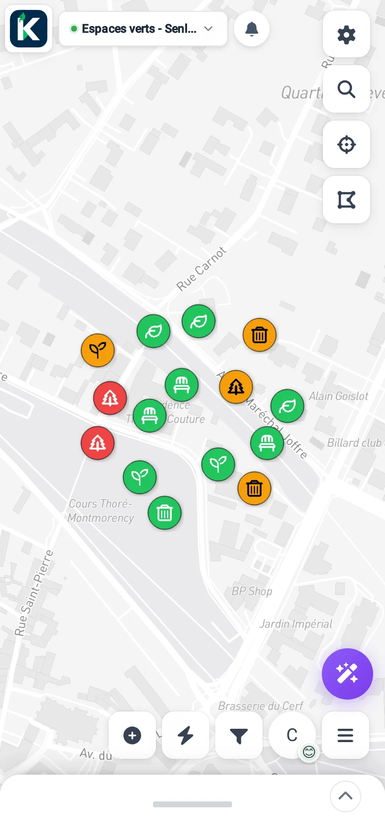
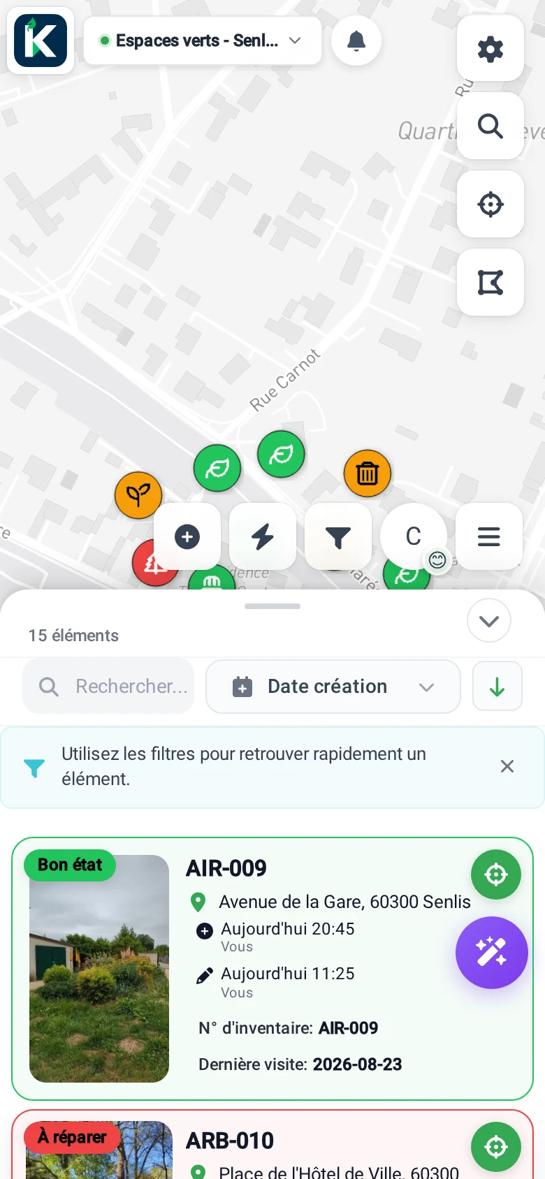
- Geolocated inventory of urban furniture and municipal equipment
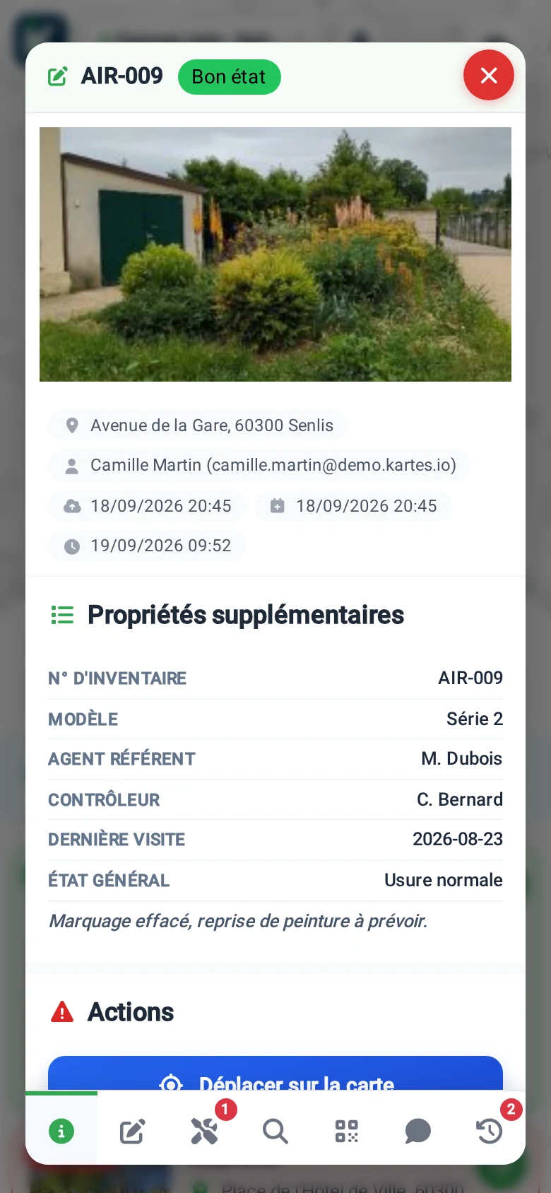
- Field update in a few seconds: photo, status, comment, signature
- Complete history and traceability: findings, interventions, status changes
- Multi-service sharing: technical, roadworks, green spaces, elected officials, service providers
- Native offline mode to work in white zones or underground
- Data hosted in France, compliant with GDPR, exportable at any time
Usages concrete in community
KARTES adapts to inventory and intervention tracking across the entire municipal asset base.
Street furniture
Benches, baskets, passenger shelters, posts, barriers, information panels: geolocation, photo, condition, last intervention.
Roads & signage
Vertical and horizontal signage, ground markings, anomalies, reports, scheduled and historical interventions.
Public Lighting
Light points, cabinets, technical equipment, consumption sheets and associated documents (DOE, plans, contracts).
Green spaces
Trees, playgrounds, flower beds, park equipment, health monitoring, pruning, and seasonal interventions.
How it works in 4 steps
From the first sheet to the complete mapping: a progressive rollout, without disruption.
Inventory on site
Your agents take a photo, the application geolocates and records the equipment with its type and characteristics.
Centralize the data
All cards automatically appear in an interactive map accessible to technical services and elected officials.
Follow the interventions
Each operation (repair, replacement, inspection) is recorded with photos, status, and signatories on the form.
Pilot and export
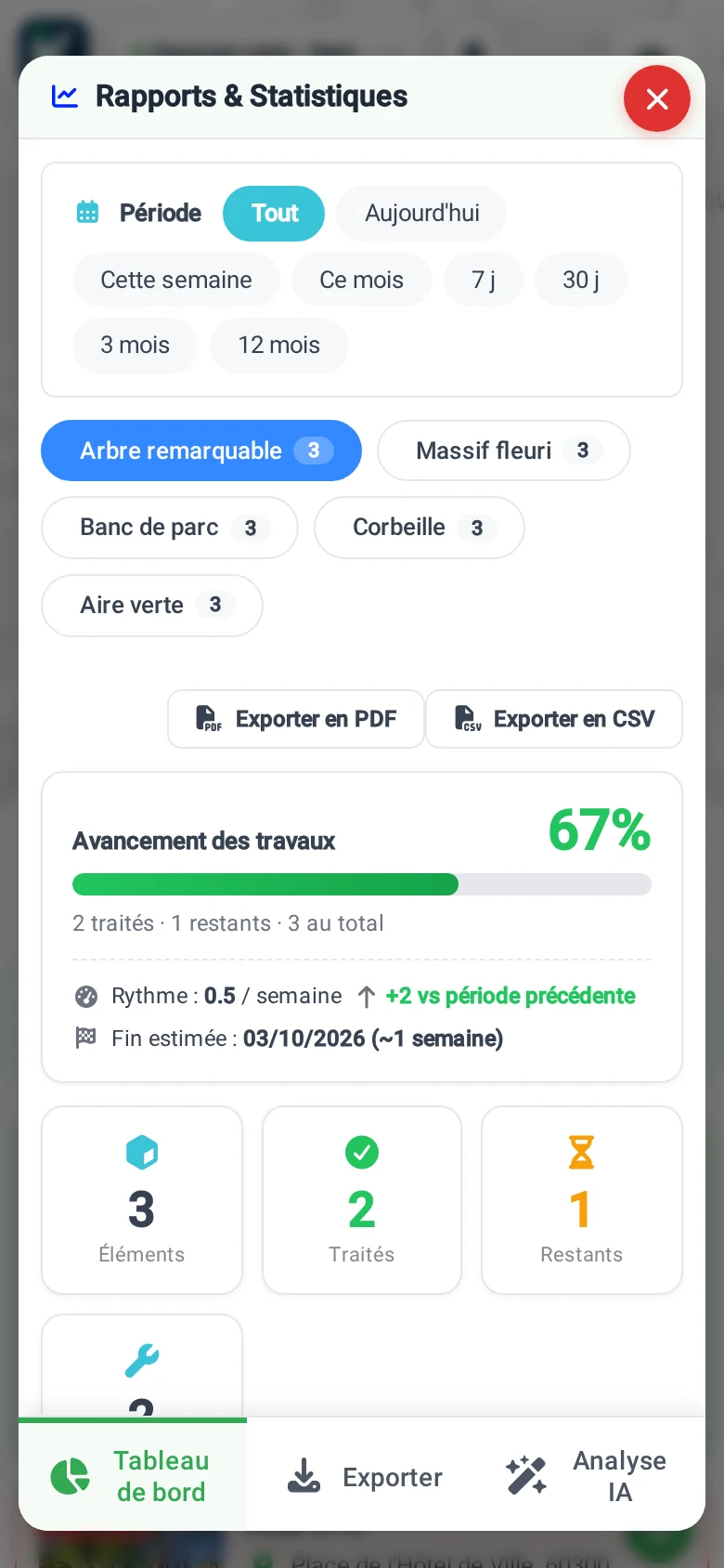
Dashboards, CSV/GeoJSON exports, sharing with service providers: the data belongs to you and remains accessible.
A platform designed for the public sector
Referenced to UGAP, hosted in France, deployed without heavy training.
Cadastre, protected areas, networks: all at a glance
KARTES natively integrates official data that your technical services and urban planning need. No more juggling between Géoportail, Géorisques, and the departmental GIS.
Cadastre & Boundaries
2 layersDGFiP parcels and 2026 administrative boundaries directly on the map. For planning, urban development and roadworks.
Source : IGN, DGFiP
Risks & Public Forests
2 layersPPRN (floods, ground movements) and public forests ONF to anticipate constraints before works.
Source : IGN, ONF
Heritage & Hydrography
2 layersClassified and registered sites (1930 Act), watercourses and water bodies BD TOPO for sensitive areas.
Source : IGN
Nature & Biodiversity
6 layersNatura 2000 SIC/ZPS, ZNIEFF I/II, national parks, biological reserves to check environmental protections.
Source : INPN, IGN
Energy Networks
6 layersHigh/low pressure gas, high voltage electricity, RTE accommodation capacity for technical services and land use studies.
Source : GRTgaz, GRDF, RTE
IGN aerial photo
1 layersHigh-resolution visual recognition before movement. Ideal for preparing an intervention or an inspection.
Source : IGN
Official data, automatically updated. The admin selects active layers per workspace, each agent displays them according to their needs.
Extensible catalog: we regularly add new layers and can integrate custom ones tailored to your business needs.
Questions FAQ
Everything you need to know before deployment KARTES in your community.
KARTES does it display the cadastre and protected areas?
KARTES is it suitable for small towns?
KARTES is it referenced in the UGAP?
Where are the community data stored?
Should the agents be trained to use KARTES ?
KARTES does it work without an internet connection?
Can an existing inventory (Excel, GeoJSON, GIS) be imported?
Can data be shared with external service providers?
How much does it cost KARTES for a community?
How to cancel the subscription?
Ready to map your community's assets?
Start for free or request a personalized demo. Our team supports communities of all sizes in deployment.
Request a demo Contact us