For local authorities  Listed with UGAPFrance's central public purchasing body, simplified procurement for public bodies
Your public assets, mastered end to end.
Inventory your assets, steer their upkeep, and have your contractors work on the same data as your own teams. From the field to the dashboard.
Data hosted in FranceFull exportWorks offlineCap Digital member
Listed with UGAPFrance's central public purchasing body, simplified procurement for public bodies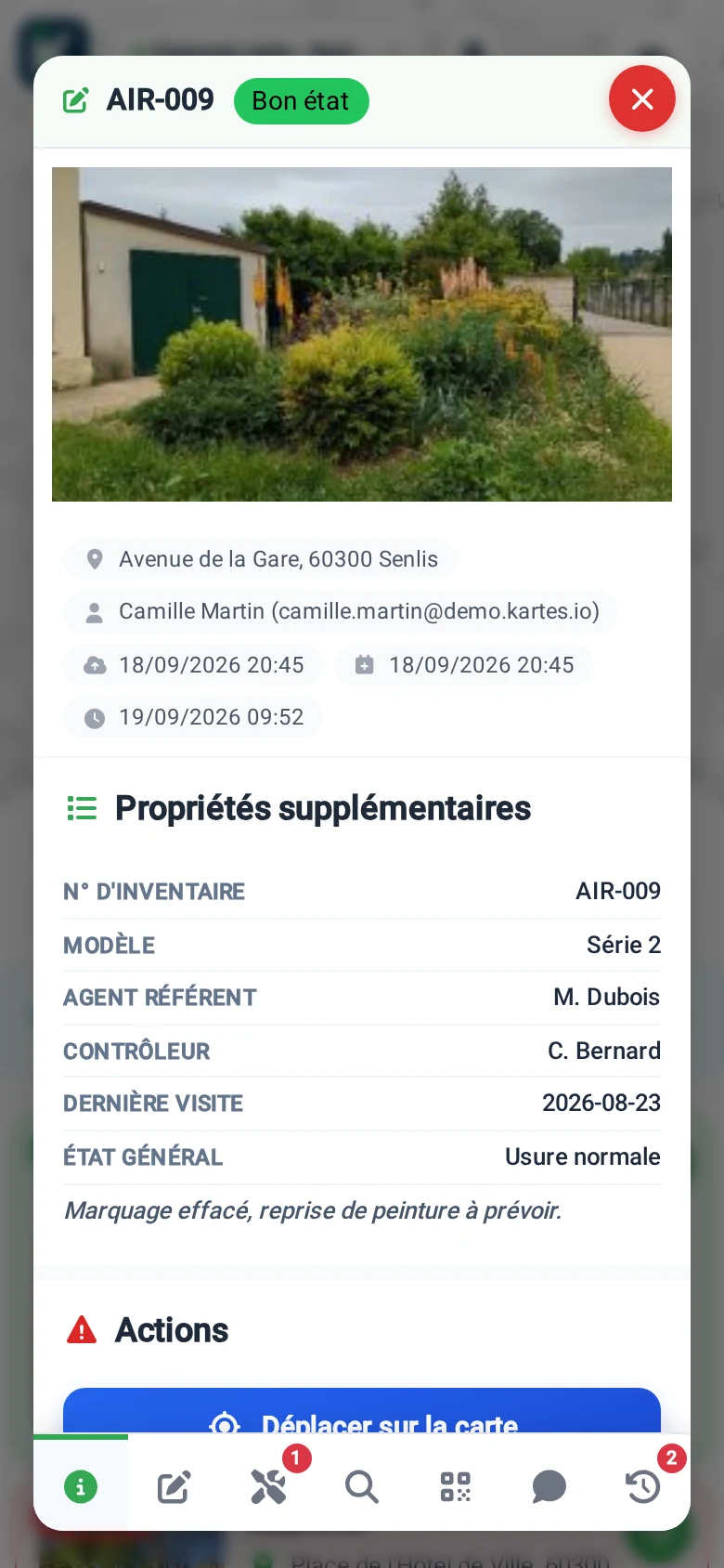
What you gain
One overview, one set of data.
01
An up to date inventory
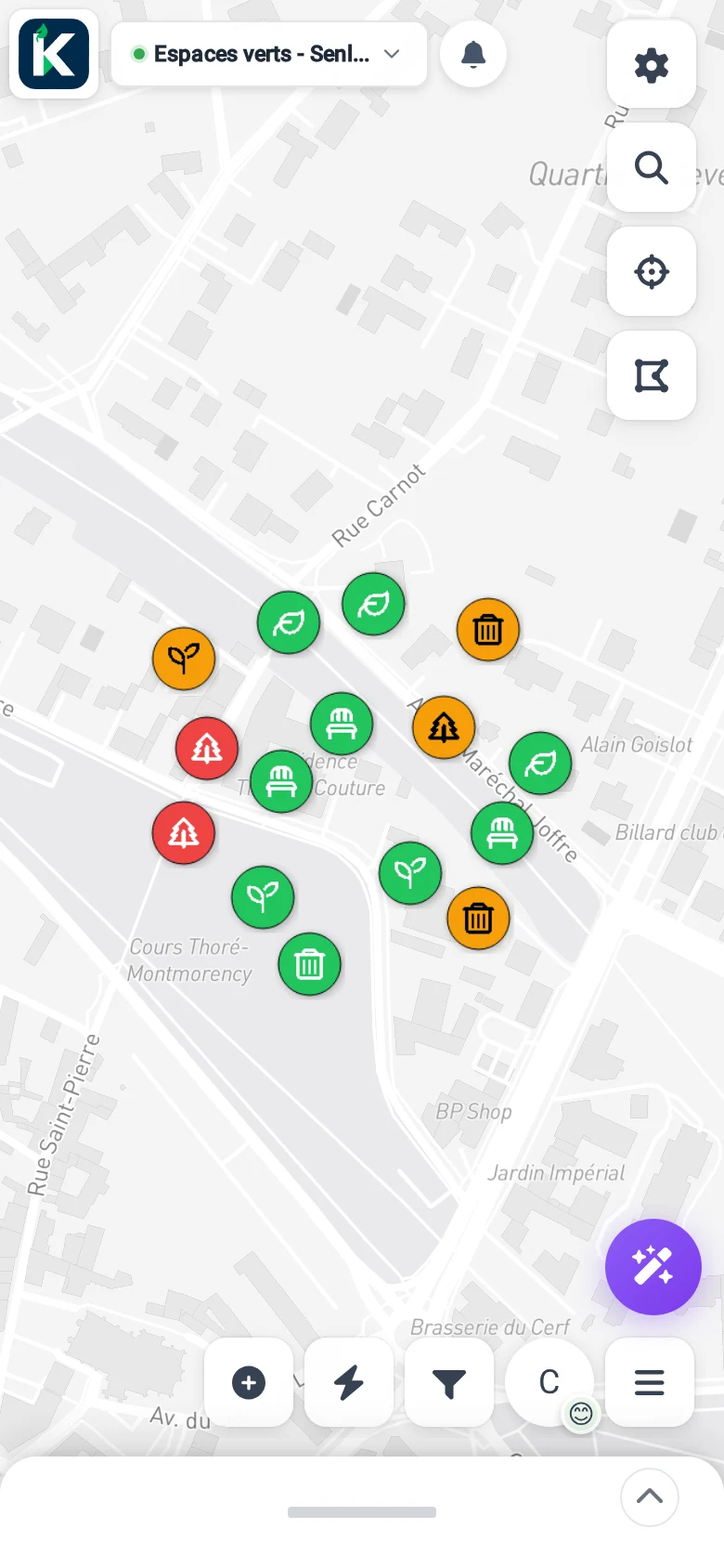
All your assets geolocated on one map, from street furniture to buildings.
02
Contractors aligned
Your field contractors capture on the same base, with dedicated access.
03
Ownership of your data
Hosting in France, ownership of your data, full export at any time.
What KARTES records
From a parking bay to a monument.
Street furniture, roads and signage
Green spaces, trees and playgrounds
Safety equipment and defibrillators
Built assets, lifts and accessibility
The app
From your staff in the field to the dashboard.
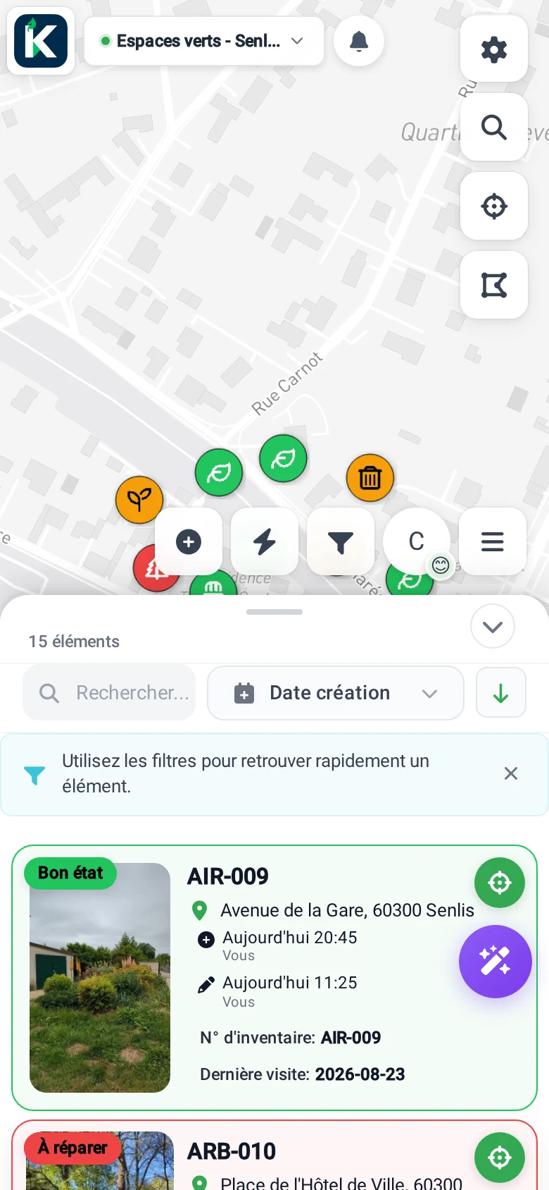
Your departments and your contractors work on the same data. Here's what the app does day to day.
And to steer and trace
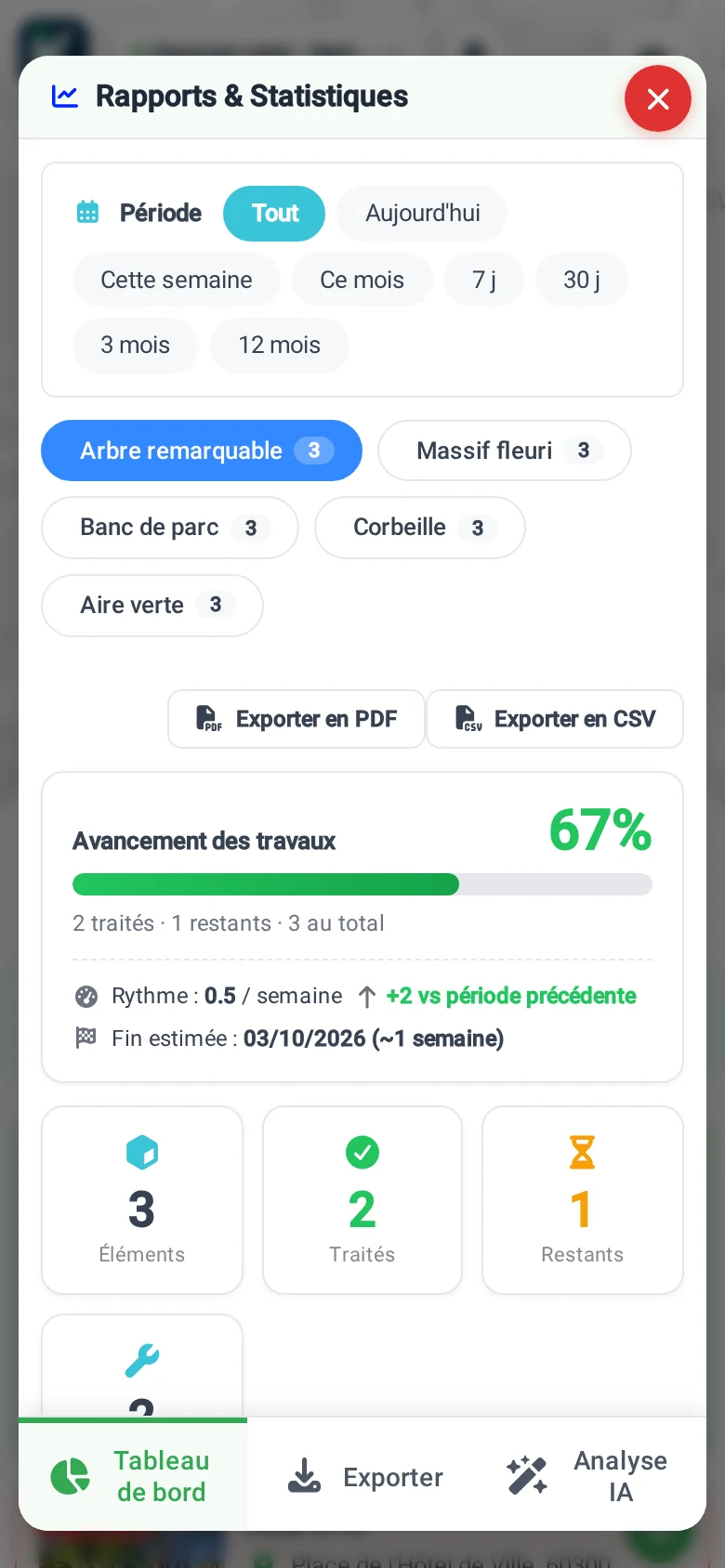
Geolocated inventory Inspections and interventions Dedicated contractor access Offline mode AI photo analysis CSV and PDF exports IGN map layers Open-data import Status and tracking Data hosted in France
One trade, one app
Each department, its app.
Each trade has its catalogue and its colour. All share the same map.
 Field ops
 Nature
 Fire safety
 Accessibility
 AED
AED Playgrounds
 Buildings
 Lifts
Lifts EV charging
 On your own ground
See KARTES with your own assets.
Try it for free, no credit card. Or book a demo, we start from your assets.