Reliable surveys, proof of every intervention.
Roads, green spaces, maintenance: record assets on the map, trace your visits and keep the proof, for yourself and for your clients.
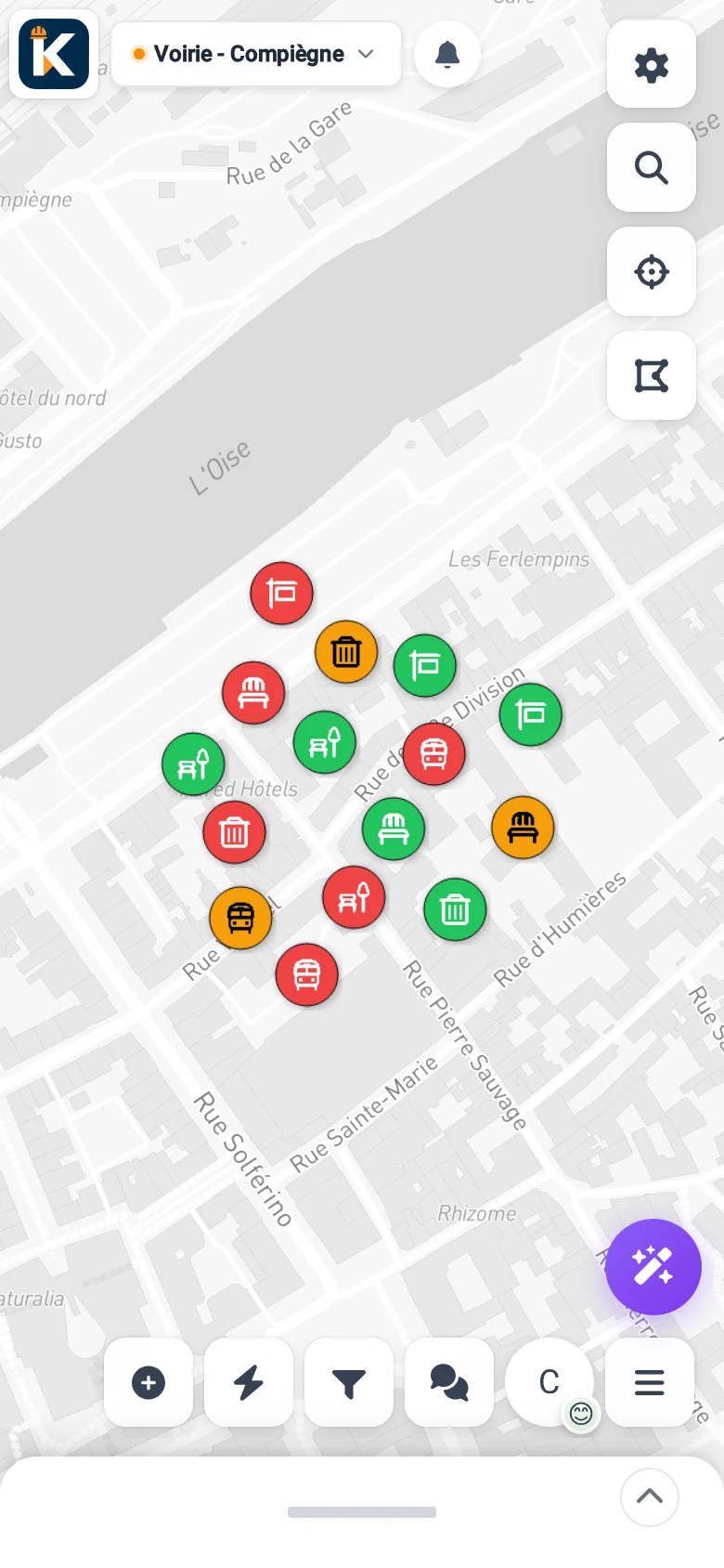
Less paper, more proof.
Time in the field
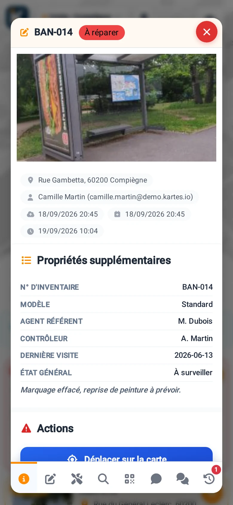
Your staff fill in a record in ten seconds from their phone, even without a signal.
Proof of every visit
Before and after photos, geolocated and timestamped. The history stays a scan away.
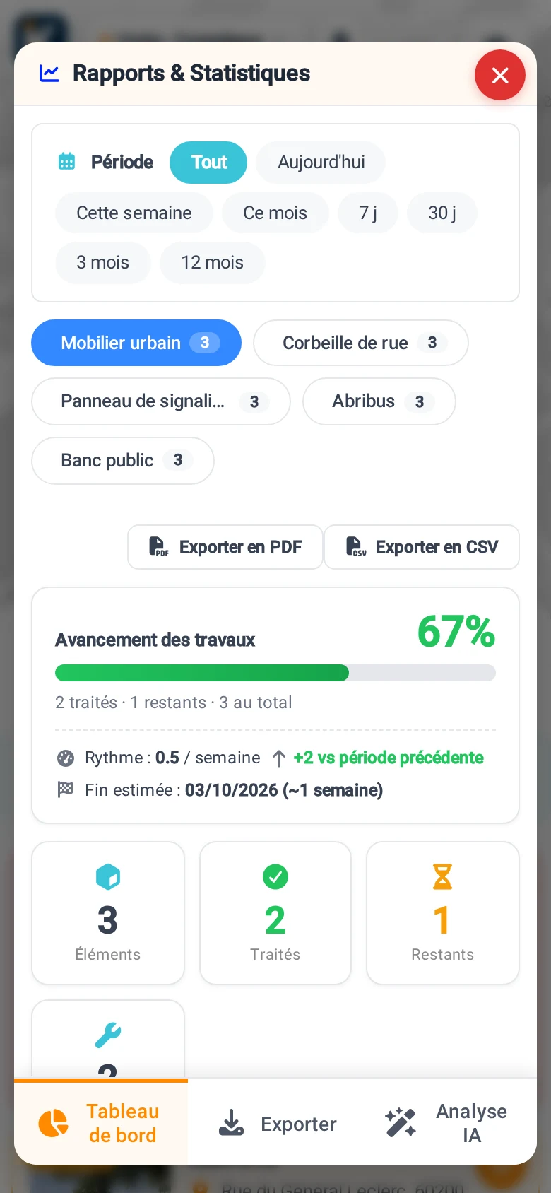
Reports that hold up
Export your surveys as CSV and PDF for your clients, with no re-entry.
From field survey to report, in three steps.
The same data, from the field worker's phone to the export.
Every asset, one record
Photo, position, form. In ten seconds, even without a signal.
Traced interventions
Timestamped findings, before and after photos, status per asset.
Exports that stand as proof
CSV, PDF and map for your clients.
The app your field staff carry in their pocket.
Capture, inspection, intervention and proof, from the field. Here's what it does day to day.
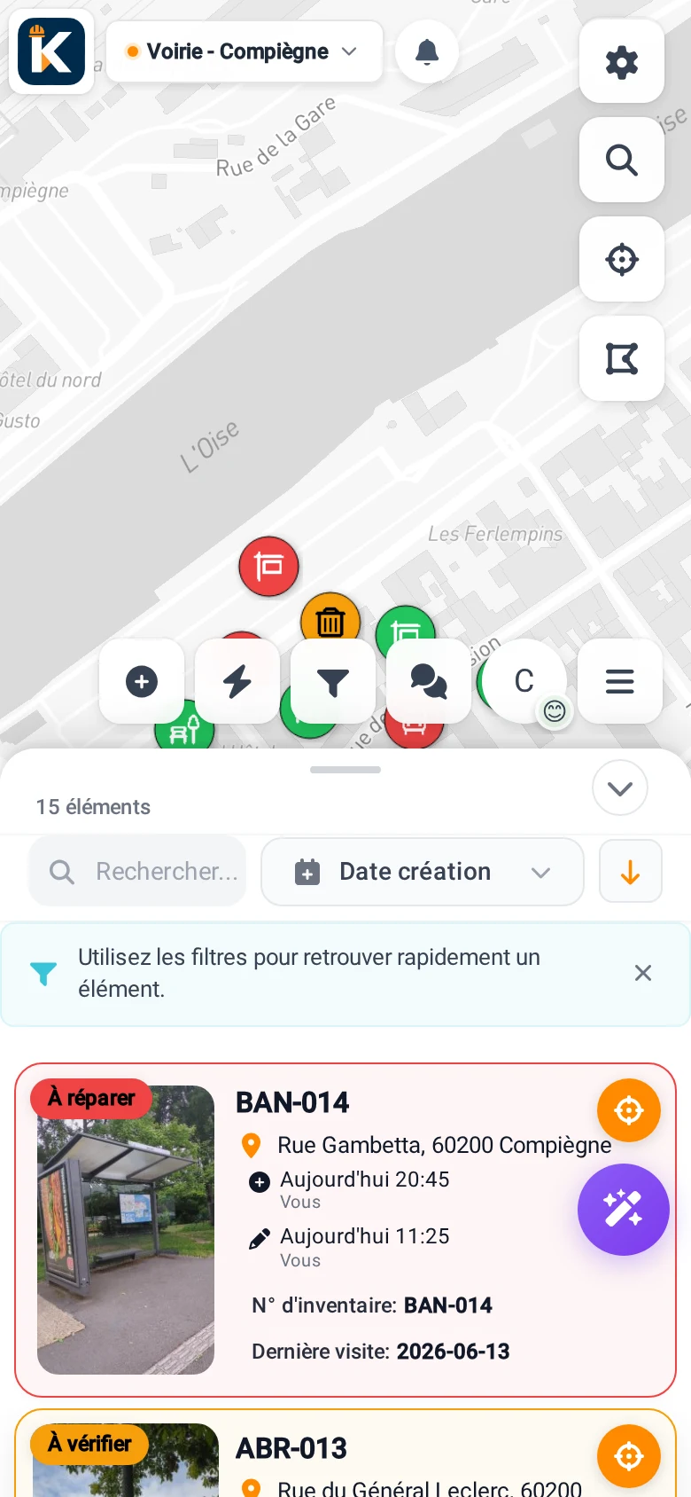
And to steer and trace
The app made for your trade.
Choose your trade and discover the dedicated app, free to try.
 Field ops
 Nature
 Fire safety
 Accessibility
 AED
AED Playgrounds
 Buildings
 Lifts
Lifts EV charging
Try KARTES with your own assets.
For free, no credit card. Or book a demo, we start from your organisation.