All your field assets, on one map and under control.
Inventory your assets, track every inspection and intervention, keep the proof. A mobile app, a map, from the field to the office. Even offline.
- 390
- Active users
- 310,000
- Interventions tracked
- 300,000
- Elements mapped
- 5 · 12
- Metropolises · Authorities
- UGAP
- Listed on public procurement
- France
- Data hosted and encrypted
From field survey to steering, in three steps.
The same data, from the field worker's phone to the dashboard. Paperless, even offline.
Every asset, one record
Photo, position, form. Ten seconds in the field, even without a signal. Data syncs on its own when back online.
Inspections and interventions
Timestamped findings, before and after photos, status per asset. The full history stays a scan away.
One map, exports
See the state of your assets, prioritise, and report back. Registers and reports in open formats.
Complete, from the field to the office.
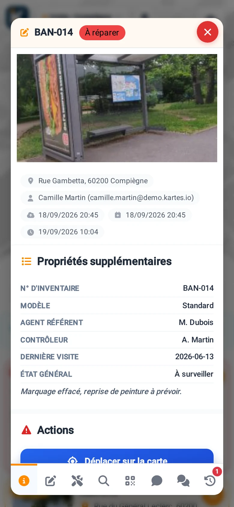
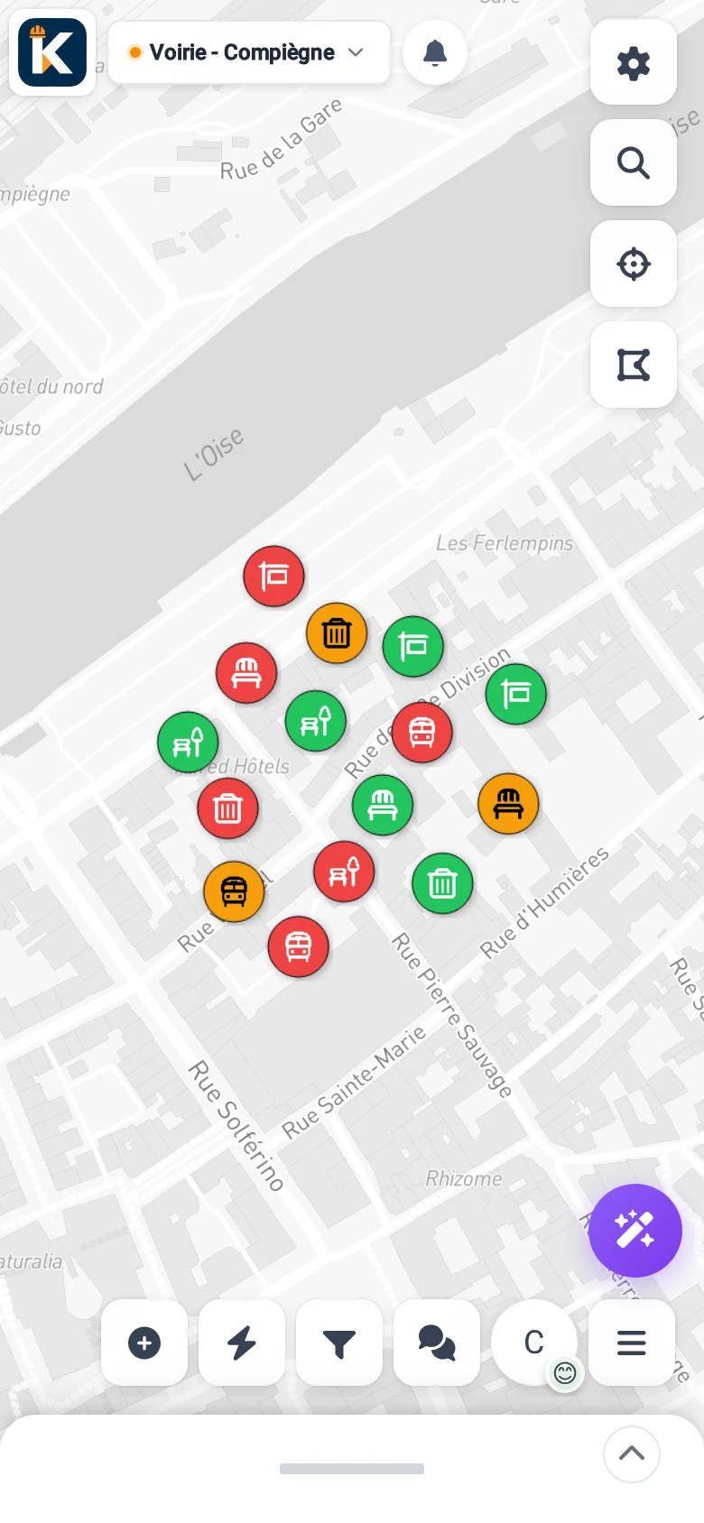
A single mobile app to inventory, inspect, intervene and steer. Here's a glimpse of what it does day to day.
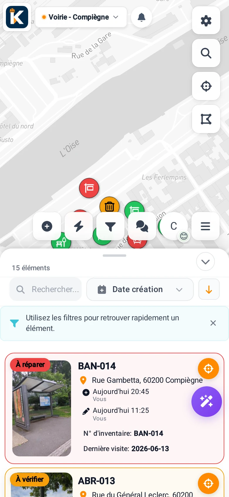
And to steer and trace
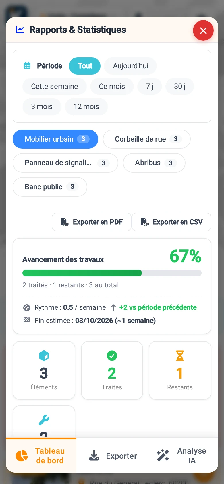
Made for those who maintain the field.
Your assets, mastered end to end.
Inventory your assets, steer their upkeep, and have your contractors work on the same data as your own teams.
- Geolocated inventory of public assets
- Tracking of checks and works
- Dedicated access for your contractors
Your sites and equipment, traced.
Roads, green spaces, maintenance: make your surveys reliable and keep proof of every intervention.
- Field survey with photo, offline
- Proof of completion per asset
- Exports for your clients
The app made for your trade.
Each trade has its catalogue, its checks and its colour. All share the same map and the same app. Try yours, for free.
 Field opsPublic works · Roads · Maintenance
  NatureGreen spaces · Green assets
  Fire safetyPrevention · Rescue · Risks
  AccessibilityRoutes · Facilities
  AEDDefibrillators · Maintenance
  PlaygroundsPlay · Surfaces · Inspections
  BuildingsBuilt · Monuments · Upkeep
  LiftsUnits · Inspections · Breakdowns
  EV chargingCharge points · Charging · Availability
 Built for the field, serious for the office.
Works offline
Field staff capture without a signal. Everything syncs when back online.
AI photo assist
Photograph an asset and AI helps identify it and fill in the record.
Exports that stand as proof
Registers, reports and data in open formats, as CSV and PDF.
IGN mapping
IGN base map, cadastre and trade layers built into the map.
Data in France
Hosting in France, ownership of your data, full export at any time.
UGAP-listed
Simplified purchasing for public bodies, listed for public procurement.
See KARTES with your own assets.
Try it for free, no credit card, or book a demo. We start from your assets and your organisation, not from a demonstration set.